
.NET APIs for SHAPEFILE to PNG conversion
Convert SHAPEFILE to PNG with an API designed specifically for .NET / C# developers.
Download Free TrialAspose.GIS for .NET enables you to convert SHAPEFILE to PNG for vector-based and raster geospatial data formats. Data is only useful when someone can see it. .NET GIS library makes it easy and fast to export GIS data to vector or raster images and provides rich symbology for complex visualization scenarios.
Aspose.GIS for .NET is designed with simplicity, performance, usability & portability in mind. It contains APIs to be used with .NET Framework & .NET Core platforms, enabling you to build cross-platform applications with great ease.
Map Viewer
An overview to convert SHAPEFILE to PNG .NET API.
- Point Symbolizer
- Line Symbolizer
- Fill Polygons
- Point Clustering
- Use Picture in Points
- Combine Layers
- Combine Symbolizers
- Geometry Generator
- Mixed Geometry
- Auto Detect Places
- Draw along curved lines
- SVG
- PNG
- BMP
- JPEG
- Import from SLD
Platform Independence
Aspose.GIS for .NET supports .NET Framework 4.7 or later under Windows, and .NET Core 2.0 or later under Windows or Linux
- .NET Framework 4.7 or later
- .NET Core 2.0 or later
- .NET Core 2.0 or later
Supported File Formats
Aspose.GIS for .NET supports popular GIS file formats.
- ESRI Shapefile:SHP, SHX, DBF
- GeoJSON:JSON, GeoJSON
- TopoJSON:JSON, TopoJSON
- ESRI File Geodatabase:GDB
- Geography Markup Language:GML
- Google Earth:KML
- GPS Exchange Format:GPX
- MapInfo Interchange Format:MIF
- MapInfo Tab Format:TAB, DAT, DBF
- OpenStreetMap:OSM
- Comma-Separated Values:CSV
- GeoTIFF: TIF, TIFF
- Esri ASCII / Esri grid:ASCII
- XYZ Tiles:Slippy Maps
- PostgreSQL (PostGIS)
- SQL Server (MS SQL)
Advanced GIS Data Manipulation API Features
Combine several layers on one map image.
Apply styles for points, lines, and surfaces.
Import styles from SLD format.
Draw labels and text. Apply styles for text and auto detect places on a map.
Draw clustered points.
Save a created map in SVG, PNG, BMP, or JPEG.
Manage the spatial reference system for your map.
Draw labels along curved lines.
Use advanced rendering: Combine Symbolizers, Geometry Generator, Mixed Geometry.
Web Apps Gallery
We present free applications that uses the .NET API to implement the "SHAPEFILE to PNG Converter" and other. Here you can explore the functionality and quality of its work.
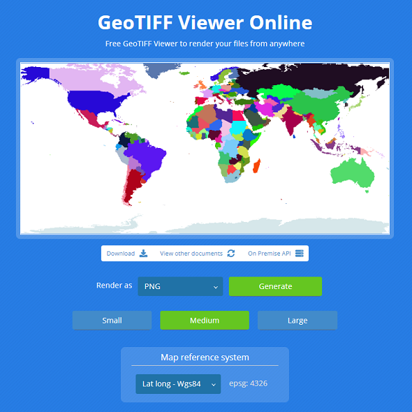
GeoTIFF Viewer
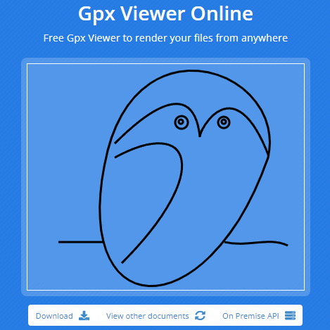
GPX Viewer
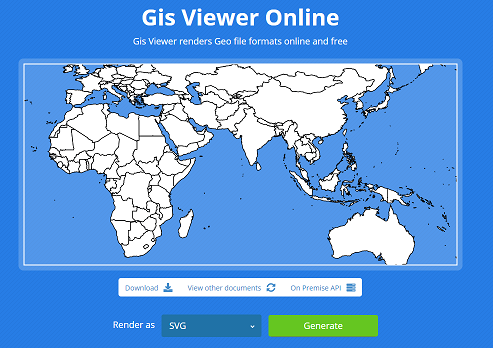
GIS Viewer
Gallery Maps
A set of maps created using our library.

City Quarter Map

Africa Rivers Map
Sample for .NET - SHAPEFILE to PNG Converter
Here is how to convert SHAPEFILE to PNG using default settings:
Support and Learning Resources
- Learning Resources
- Documentation
- Source Code
- API References
- Tutorial Videos
- Product Support
- Free Support
- Paid Support
- Blog
- Release Notes
- Why Aspose.GIS for .NET?
- Customers List
- Success Stories